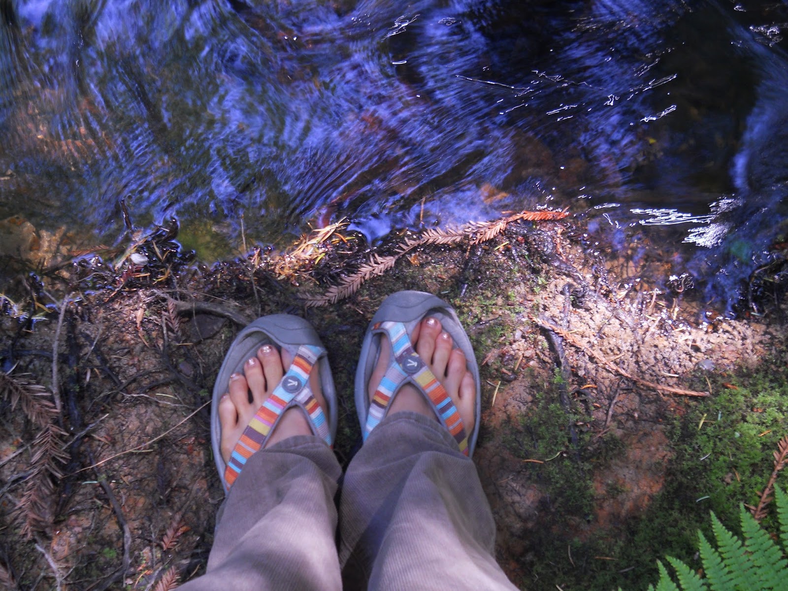
Friday, September 13, 2013

Why I Hike

Backpacking Santa Cruz mountains

As a typical busy American, working full time, and raising 2 school-age children, why is hiking my go-to activity whenever possible?  Because for me it counteracts the busyness. It provides me with an opportunity to get away from my never-ending to-do list. Hiking allows me to clear my head and to appreciate God’s amazing creation.  Plus, it counts as physical fitness, too!

Tetons, 2011

1.    Freedom:  I can pick the place and how I move in that place. Am I in the mood for bagging a peak, or meandering along a river?  Mountains or beach? (A perk of living here in the central valley of CA-I can pick either one!) a  National Park, or just forest land so I can bring the dog?  I can choose if I want to go slow or fast, stop and read or stretch or go faster and get a cardio workout, bring people or go alone… there is just freedom that feels nice compared to the usual routines of work, kids’ activities, etc.


Mt. Freel, Tahoe

2.    Creation:  I grew up on 6 acres of almonds and spent countless hours running around, climbing the trees, hanging out outside. My parents always took me on drives to Knights Ferry and to Pine Crest to walk and picnic.  I have always enjoyed being outside whenever possible.  Hiking allows me to feel appreciation for the Earth itself, the animals living on it, the trees and other plants growing on it, the water cycle…nature is amazing.  Staying home for too long makes me feel disconnected from it;  I feel grounded again and closer to our Creator each time I get out there. 


3.    It clears my head:  In this season of my life, my head is full each day.  Lesson planning, meeting all my students’ needs, caring for my 2 children, planning and carrying out healthy meals for my family, helping my husband with his business, keeping the family calendar under control, housekeeping…that just touches the surface of what swims through my head each day.  Hiking clears it all out.  When I am hiking all those thoughts get replaced with the happiness of the feeling of the freedom, an appreciation for nature, amazement at certain features along the way, a focus on my physical body and feeling strong, enjoyment of people I’m with, or the solitude I sometimes prefer.


Winter Hiking in Idaho
4.    Physical fitness:  I do not use a gym, I have a hard time “working out” unless there is a real purpose.  I played soccer in high school and we dribbled the ball around the track for one sometimes two miles – it was fine because the ball was there.  Had it just been running I would have had a bad attitude.  Hiking gets my body moving- good for my heart.  Even better when I am in high elevation. It firms my muscles, especially when there are uphills.  It gets me to focus on properly fueling my body with nutrients rather than junk. The sun feels good, my body and mind need the light from the sun. 


5.    Focus on simplicity: Although hiking, especially if there is an overnight stay involved, takes some planning, once you are there it is a simple activity. I like how everything comes down to the basics – eating, hydrating, moving toward a destination.  As long as I carry the ten essentials system with me on my back, it’s all I need.  At home there is the constant noise and movement of life in a sizable town (traffic, phone calls, errands, attending kids’ activities…) By hiking I can be a minimalist for the day, just me and my pack on my back.


Jeff & I in Lassen Volcanic National Park, near Cinder Cone


When I go too long without hiking, I feel a real urge to get back out there and reconnect with those feelings of freedom and simplicity that hiking gives me.  I get cravings for the smell of the fresh air, the sound of my feet on granite or grass or dirt, the sight of nature in a 360 degree view, the feel of the energy of the sun on my skin, the taste of the special food treats I reserve just for hiking, the time to pray, and also the workout it provides my heart and muscles. This was a great time of reflection for me – now I’m going to go plan my next hike! 


Red Hills, Chinese Camp, spring

copyright Nicole Cipriano. All rights reserved.
Please do not copy or repost any content or photos.
Instead, please post the link to the Blog.

Sunday, September 1, 2013

A Coastal "Hike"


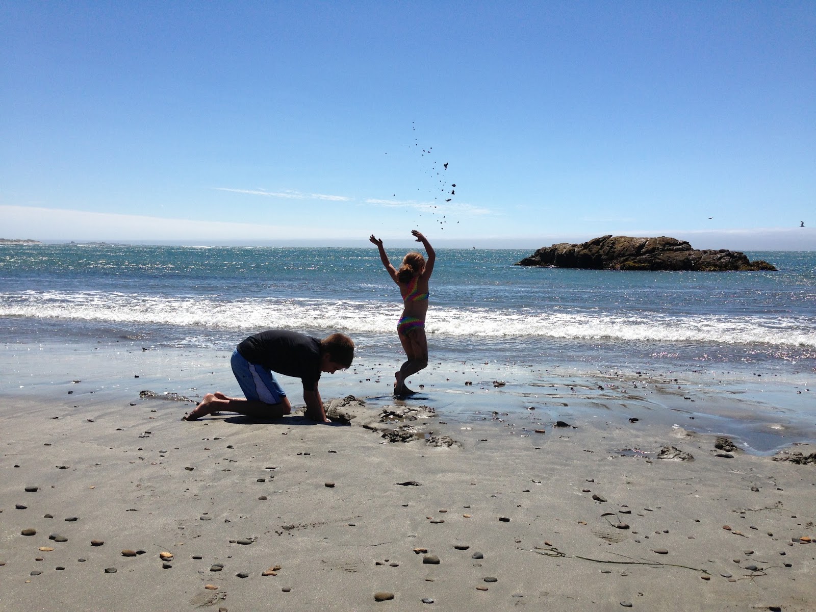
When our precious Sierra Nevada is burning up in the Rim Fire and causing road closures and sending smoke and ash into our favorite hiking areas, we head to the coast instead.  This Labor Day weekend the Jaunt Adventure Group headed to the San Mateo county coast, in between Pescadero and Santa Cruz.  


This kind of hiking is different than mountain hiking.  I have to use the word "hike" loosely.  When you walk along mile long stretches of beach, and go along grassy bluffs, it is more of a meandering.


When we head to the mountains for group hikes, we traverse about 2-3 miles per hour, of course depending on specific terrain challenges and each person's fitness level.  But to meander 4 miles on the coast took us 6 hours!  


Why so long?  There is so much for which to slow down and take in, especially when you get to see it all through the eyes of a 6 year old and a 10 year old who don't abide by "time schedules" and "to do lists" yet.  On the large-scale of wonders to take in there is the floating fog, the crashing waves, the soaring/diving birds, the blinking lighthouse, the rocks which are great for climbing, seals basking in the sun not far from shore.  Then there's those smaller-scale things, the things which require a true slowing down to enjoy:  long pieces of seaweed which become "tails";  crab carcasses; shells of all shapes and sizes; hermit crabs and larger crabs hiding as you move rocks; the sight of the pattern on the sand caused by the wind; the feeling of the sand and water on bare feet.


This opportunity for meandering (sorry, no dogs) can be found starting at Gazos Creek Beach.  If you hike all the way to the border of Ano Nuevo State Reserve it would be 5 1/2 miles.  We didn't go all the way;  it was a really windy day and we knew we'd be going back against the wind.  

The best thing about this kind of hike is that the journey IS the destination, so no matter how far (or not far!) you go there is enjoyment to be found.  The bluffs have some peninsulas with benches, if you are inclined to sit and just think, or journal.  Or you could always get in some barefoot running. Just make sure you allow time to take it ALL in, maybe through the eyes of a child.


Want to join the next Jaunt Adventure Group hike?  Go HERE and fill out the "contact us" form.  

Our next hike (Sept. 28) won't be just meandering; it will be a bit more intense, getting into Yosemite if the fire gets contained and the smoke is gone.  But those who want to shorten the hike can stop at May Lake, and those who wish to (my 10-year-old and me!) can go the extra mile up the switchbacks to the 10,845 foot summit of Mt. Hoffmann.  This is a great hike because there are incredible views along the way to the lake, and then truly breath-taking views from the top of Mt. Hoffmann.  For a trip report on this hike, go to my post here.

copyright Nicole Cipriano. All rights reserved.
Please do not copy or repost any content or photos.
Instead, please post the link to the Blog.


Wednesday, July 31, 2013

Lake Tahoe: Mt. Tallac & Mt. Freel


My friend Julie and I are both passionate about getting our families into the outdoors, but this trip was just the 2 of us. And without our kiddos in tow, we were able to hike faster and farther, covering over 23 miles on day hikes in 2 days.  


Day One

This first picture shows the incredible view from the summit of Mt. Tallac looking out toward Lake Tahoe.  The 360 degree views from this summit are all incredible. This was a 9 1/2 mile round trip, taking us about 6 hours. We got a late start (enjoying a morning of sleeping in just a little!) so it was a little hot for most of the hike, and the trail and summit were crowded.  

Most of what we had read about this hike rated it as difficult, but we didn't find it too hard.  Was I breathing heavy? Yes!  Was I slowing down on the steep parts? Yes!  Was I sweating? Yes!  Did it feel great and was it worth the climb? Indeed!


The trailhead is very well-marked, right across from Baldwin Beach.  Parking is limited, but my tiny car squeezed in.  This photo shows Mt. Tallac as seen from the beginning of the hike, which starts at 6,480 ft.  Mt. Tallac summit is 9,735, so we got to hike up for over 3,000 feet.  Only one part is steep with switchbacks.  


The great thing about this hike is that you get nice views all along.  You are at first along a ridge with views to Fallen Leaf Lake, and you pass Floating Island Lake and Cathedral Lake (2.3 miles in).  After Cathedral Lake the steep part of the hike starts, and you have great views of Lake Tahoe.  


This is the trail below the summit, looking back toward the Cascade Range. 

If you don't mind a crowded trail experience, or if you could get up here on a weekday or late season (Sept./Oct) to avoid the crowds, this is an awesome hike because of the incredible views and the wildflowers.  


Day Two
With the warm-up hike to Tallac, we were excited to do Mt. Freel next..  We heard it was longer than Tallac.  The route we took was at least 14 miles by our calculations of signs & maps.  Whereas Tallac was in the wilderness boundaries and dogs and bikes were not allowed, our trail to Mt. Freel was shared with bikes and dogs, but how sweet it was that there were way fewer people than Tallac. 


The first 4 miles of the trail
go up and down through trees.  From Armstrong Pass it becomes mostly uphill, through hill-sides of gorgeous sage, lupine, & other wildflowers, and neat rock formations. 


The last mile to the summit is the hardest. It is steep. As seen to the left, the trail is rocky and weaves in between low-growing brush,
then the last 1/2 mile is above the tree line. 

The views from up here on Mt. Freel were gorgeous - here's our Darn Tough feet looking at Lake Tahoe.  We could also see Mt. Tallac where we'd been the day before, so that was nice.  (When we had been on Tallac we had seen this peak where we now were resting!)


I really enjoyed the hike up to Mt. Freel.  It wasn't easy; we were both pretty tired and even stiff and sore that evening and the next morning.  But the trail scenery was superb, there were few people, and the view from the top was excellent.  

Tahoe is not an area I know very well.  I am used to the Sierras and Yosemite, but I really enjoyed Desolation Wilderness (for Mt. Tallac) and the views of Lake Tahoe and other ranges you can get from these 2 peaks we bagged!  I highly recommend either peak if you're in the area, or pull them both off in 2 days like we did!  We ended our weekend with Stand Up Paddleboarding on the lake- but that is an adventure for another post!

Friday, July 19, 2013

Hiking for Beginners, Part 1


At 2 1/2 my daughter still got a ride!
Now she is 6 and carries her own pack!

have hiked for over 2 decades, so I sometimes forget that many people don't know where to start.  I am passionate about getting out, and want to help others get out, too. This post is for you who want to start hiking, and need to know the basics.  

So, hiking is just walking, right?  Yes and no.  If you can walk, you can hike.  There are easy trails and moderate trails and advanced trails.  Depending on your current physical condition, you may start right off onto a moderate or advanced trail, or you may need to stick to easy trails for awhile.  You just need a few supplies and some planning know-how.  This article will address supplies and some general hiking information.  Stay tuned in the future for part 2, planning your own trip.  

1.  Go with another hiker, one who has some experience, for your first few times out. Even better is to join up with a group.  Group meet-ups run by locals and hikes through a local gear shop are even better. No matter what, always let someone at home know where you are going and when you are expected to return.  

2.  You will want a small day pack to carry some gear in.  There are all kinds of packs for sale with different features - make sure it is comfortable.  Your first few times out you may just grab your kid's school backpack, and this may work out ok on an easy hike if your pack is light.  But eventually you will want a more comfortable pack that has waist and chest straps to help the pack sit nicely on your back. 

3.  What do you need to put in your backpack?
  • Water - 2 liters for an easy to moderate hike in normal weather.  Carry more if it is really hot, and when you start doing longer, harder hikes.  Carry your water in a lightweight plastic container.  It is perfectly ok to just reuse a Gatorade-type plastic bottle.  Do not just bend down and gulp fresh water out of that mountain stream - it can make you sick.  There can be a parasite called giardia in the water that will give you flu-like symptoms. You can carry water treatment tablets with you, iodine-based or chlorine-based.  They are tiny, light-weight, and not too expensive.  
  • Food - I like to snack as I am hiking; it helps to keep my energy up.  I take foods I normally have at home, such as nuts, dried fruits, sturdy crackers, cheese, tuna pouches, bagels & peanut butter.  I also like to get beef jerky, Jelly Bellies, granola bars, and fruit leathers.  It is great to pack a sandwich, but leave off the mayo of course, and maybe make it on a bagel or pita, as regular sandwich bread tends to smash into a mess. 
  • Extra clothing (more about what to wear ON YOU below) Socks (quick-dry or wool), a wind breaker or rain coat depending on conditions to where you are headed, and a knit hat & gloves.  It is better to have these and not need them than to need them and not have them.
  • Sunscreen & Mosquito Repellant - essential for protecting your skin
  • Flashlight - Carry a small, light one. A headlamp is ideal for leaving your hands free.
  • Lighter/water proof matches/dryer lint - Why, you ask?  If you are out overnight because of getting lost or due to some other problem, you may need heat to keep warm.  Stick it in a small zip-lock.
  • Toilet Paper/Wipes Packets - Put them into a ziplock, too, and you will be glad you have them when nature calls. Put extra ziplocks into there - you need to pack out your toilet paper.  Yes, you read correctly.  In some areas it is required, but always recommended for leaving no trace of our presence out in wild areas.  If you have to do number 2, dig a hole at least 6 inches deep and 
  • Camera - Capture the impressive scenery & record those memories
4.  Clothing - Do not wear cotton clothing or jeans - you may be able to get away with it if you are hiking in warm weather and not near any water and no rain is expected.  The problem with cotton is that once it gets wet, caused by sweating, stepping through a creek or from rain, etc., it stays wet and gets really heavy on you and then does not keep you warm at all.  

Instead, choose quick-drying fabrics like nylon, polyester, etc.  Wearing pants is a good idea - it will protect your legs from abrasions and also from sun.  In warm weather, wear short sleeves, in cooler weather wear long sleeves. Always carry another layer, like a fleece. Again, avoid your department store cotton hoodie.  Checking conditions for where you're headed can help you decide if you need a wind-breaker or rain-coat along. We live here in the west, so you're likely going to the Sierras, or Yosemite.  When you are in these mountains, the weather can be unpredictable, often changing from sunny to thunderstorms very quickly.  And for shoes, you probably have a pair of already broken-in "tennis" shoes that will be fine.  You do not need boots.  After you get more into hiking you may want fancier shoes, such as water proof or more traction, etc.  

What to wear on you:
  • sunglasses
  • sun hat (like a baseball cap or hat with a brim all the way around)
  • short or long sleeve non-cotton top
  • pants, non-cotton
  • quick-dry or wool socks
  • comfortable close-toed shoes 
  • don't forget to put the extra layers/hat/gloves inside your pack
5.  Trail Etiquette -   For day-hiking purposes, even as a beginner, you will want to practice these three principles of Leave No Trace:  Respect Wildlife, Dispose of Waste Properly, and Be Considerate of Others. Pack out ALL your garbage, just stick it in a ziplock in your backpack & throw it away in a garbage can back at the car, or at home. Do not feed or approach animals, even little ones like squirrels or birds.  They can get sick from people-food, and they could bite you.  Don't be loud or play music out loud. As you hike more, you may want to learn about Leave No Trace Principles  

6.  Take it Easy - Even if you have been going to the gym or doing some walking around the neighborhood, you may get tired quicker than you think while hiking, especially if your are up in a high elevation.  Hiking is rarely completely flat, and the ups and downs and maybe some rock-hopping can tire out your legs.  (If you can borrow trekking poles it can really help save your legs on the down-hills.)  Use the first part of the hike as a "warm-up", maybe even do some light stretching at first.  Eat and drink frequently, and rest when needed.  Don't worry about the pace of others; I've been in lots of group hikes where some people don't go the whole way - they just find a beautiful spot to sit and read or relax and wait for the others to come back by. 


A group I've hiked with - we were hiking to Mt. Hoffman in Yosemite


It may seem like a lot at first, and it may help to write/type up a list to use as you set your things out a day or so before your hike.  It also helps to keep your gear and clothing for hiking together, in a certain drawer or even in a plastic tub.  Then it is ready each time and you are less likely to forget things or be looking around for your gear.  The easier and quicker it is to get ready, the more likely you can get out more often!  And let's face it, those of us who love hiking hike because it is fun! 

copyright Nicole Cipriano. All rights reserved.
Please do not copy or repost any content or photos.
Instead, please post the link to the Blog.


Sunday, June 30, 2013

To Beat the Heat, Climb a Mountain


Here in the central valley we have a few options when the temps reach the 100's, including escaping to the coast or to the mountains.  

This time I opted for a hike to the top of a mountain, Mt. Hoffman, in Yosemite's high country. 


To get to the trailhead there is a 2 mile drive off Tioga Pass Road to the May Lake trailhead.

At any trailhead in Yosemite, food and any other smelly items need to be stored in the metal bear lockers that are provided.  This is essential to preventing the bears from breaking into your car and keeping bears wild.  


The 1.2 miles to May Lake are a gradual uphill, and provide you with peeks at Half Dome along the way. Once arriving at the lake you will find, get this, a flush toilet!  And a water spigot, too.  That is because there is a high sierra camp here. There is no swimming allowed in the lake.


The only way to hike to the top of a mountain is to go UP, so from May Lake the ascent begins.  At first you are along a creek, lush with flowers, and the views of May Lake change every time you turn around and glance over your shoulder.


As you begin to climb from May Lake, you see that the trees thin out and the landscape is replaced by lots of granite. 

It's been so hot in northern California this week that even at this high elevation it was in the 80's! Everyone in our group drank lots of water and took it slowly when needed.  


Wondering what I carry in my Boreas backpack?  I always include the items from the new ten essentials system.  Tucked away inside the pack I had a rain shell, gloves, and knit hat just in case we got a thunderstorm - we ended up with warm, dry weather, but you never know, things can change quickly in the mountains no matter the weather in the Central Valley. In a stuff sack in there I had my food and a tube of Nuun electrolytes.  In another stuff sack I had my compass, headlamp, lighter/dryer lint, and water purification tablets. A first aid kit always comes along with me.  I had a rain cover for my pack, and my 3 liter Deuter water bladder.  In the pouches on the hip belt for easy access I had my iPhone, for it's camera, snacks, sunscreen, my knife, & bug repellant. On me I had my sunglasses, sun hat, Darn Tough socks, Montrail shoes (super light!), quick-dry Mountain Hardwear shorts, and a Jaunt t-shirt.


There is a class 3 rock scramble to reach the actual summit, (above is a view from the summit looking toward Half Dome).  Even if you get to the base of the rock climb part of the hike and don't summit, you will be rewarded with spectacular views.  

You can see Half Dome perfectly from Mt. Hoffman's summit

You can see May Lake & Tenaya Lake 


Since today was neither cold nor windy on the summit, I stayed up there a long time, eating lunch and visiting with people.  While up there we saw some of the cumulous clouds over in the east turning into thunder heads; it never came our way at all, but over toward Highway 395 they must have been getting some rain.


I'm always undecided on if I prefer hiking the uphills, where it's a great heart workout and I have to stop to catch my breath, or if I prefer the downhills, where my breathing is fine but my legs turn into sewing machine needles, bouncing up and down with muscle spasms.  Doesn't matter - to get these splendid views what goes up must come down eventually!


If you are interested in trying Mt. Hoffman for yourself, or even just May Lake, go here for Yosemite information.  Have fun!  

copyright Nicole Cipriano. All rights reserved.
Please do not copy or repost any content or photos.
Instead, please post the link to the Blog.

Friday, June 28, 2013

July and August Hike Dates


July weekends are turning out to be a busy time for the Jaunt crew.  On the 13th we'll be helping out at Gold Rush Adventure Racing's 6 Hour Summer Challenge.  Check it out here:

The following weekend the oldest Jaunt child will need to be picked up from 
church camp in the redwoods (first time away from home for a week!).

And the last weekend of the month will find Nicole off backpacking with her long-time friend Julie. 


SO, FOR A JULY HIKE I SUGGEST YOU JOIN INSPIRING HEIGHTS ON THEIR CHALLENGING HIKE IN YOSEMITE, OFF TIOGA PASS ROAD
 ON JULY 20

HERE IS THE LINK TO THAT EVENT:


*     *     *     *     *

The next official Jaunt hike with yours-truly (Nicole!) will be a Friday hike just before I head back to my teaching job (the job that pays the bills right now!).  We will go on a close-to-home short hike to a swim-through limestone cave. It is called Natural Bridges, located off Hwy 49 on Parrots Ferry road (in between Columbia and Angels Camp).


In my 20's I went to this place all the time.  It used to be a locals-only place, with no parking or trail-markings. Not so any more!  It is a place to stay away from on weekends; hopefully a summer Friday won't bring too many crowds.

The creek is about a mile down the trail from the parking area.  If your kids know how to swim, it is a kid-friendly hike.  At this elevation there is poison oak near the trail.  The main cave (there is a lower cave, but very full of poison oak to get to it) is actually a tunnel that the river flows through, and is long enough (about a quarter of a mile!) that in the middle it is dark, so you will want headlamps.  It may also be nice to have a "floaty", like an air mattress or inner tube, one that is easy to carry & blow up once at the creek.  

As usual, a week before the hike I will send meet-up details via email to those of you on our email list through the store or the hiking group.  If you found this Blog and aren't yet on the email list, send an email to :
jauntwithus@gmail.com.  

Save the Dates
July 20-join up with Inspiring Heights group

August 2-Natural Bridges cave swim

August 17-location TBA


copyright Nicole Cipriano. All rights reserved.
Please do not copy or repost any content or photos.
Instead, please post the link to the Blog.


Sunday, June 23, 2013

Trip Report and July Ideas


We couldn't have asked for better weather for this hike - it was a sunny high 60's/low 70's day, only a little breezy on the pass, and just some beautiful cumulus clouds floating around.  


The 3 and a half mile trail from Tioga Pass Road to Mono Pass is well-maintained and well-marked.  


One of these awesome hikers had never even hiked before!  Great job!


We were missing some of our regular attenders, but it was wonderful to have new people along.  Tell your friends and family - everyone is welcome any time!


Walking for 10 more minutes past the Mono Pass sign marker provides the hiker with this astounding view of Mono Lake which is located down the east side of the Sierras on Highway 395.


Since the trail to Mono Pass begins at 9,700 feet and Mono Pass is at 10,599, you get to pass lots of different alpine landscape, including grassy meadows, pine forest, volcanic rock (look closely when you're there and you'll find pieces of obsidian-leave them there though, you can't take anything from a National Park!), granite slabs, Jeffrey pines at the tree line... it's a great hike!

Stay tuned for July's trip plans - they're still in the works.  I am thinking of hooking up with Becky Teberg and her group from Inspiring Heights either July 6 or July 20.  My other one will probably be a kid-oriented, closer to home swim/cave exploration.  Check out this link for Becky's group: